Skip to content
See the World Through ScienceA project of ALLATRA
Measured by U.S. Geological Survey (USGS) 1 source

M5.8 Earthquake Strikes Southwest of Guam

Natural Disasters
Republish this story

Our work is licensed under Creative Commons BY-NC 4.0. You may republish this piece for free — with credit to ALLATRA Media and a link to the original, unedited beyond length trims, and not for commercial use.

Read the full license

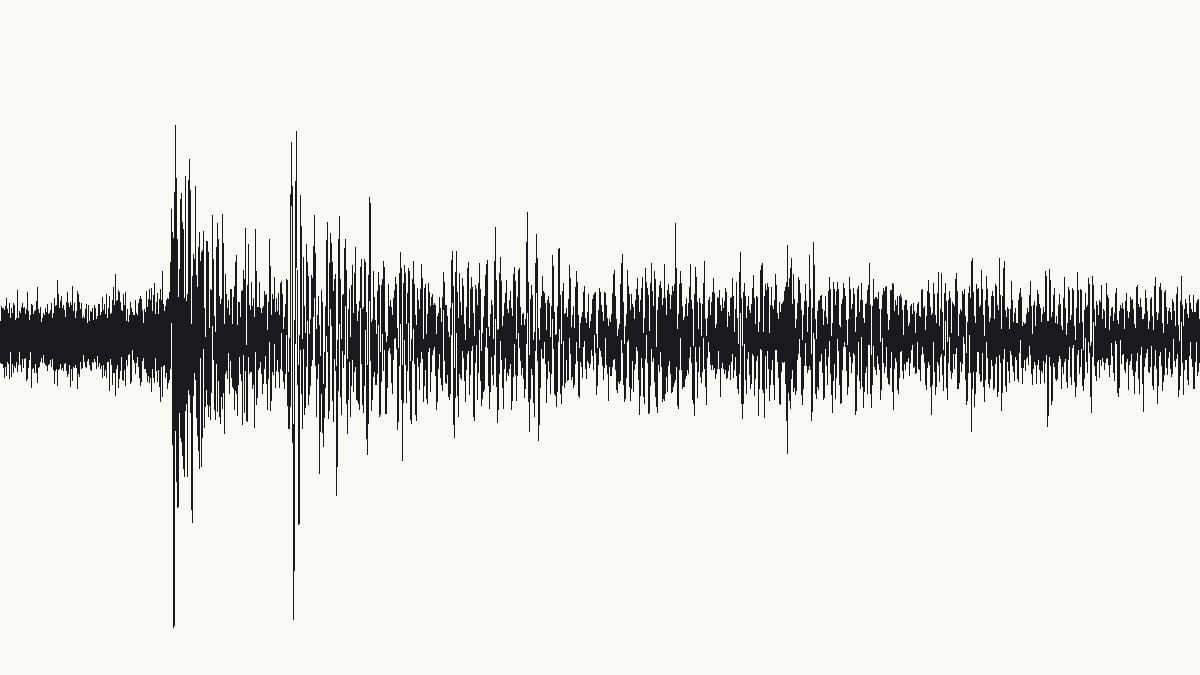
Seismogram of the magnitude-5.8 earthquake southwest of Guam
The magnitude 5.8 earthquake recorded at Davao, Philippines, about 2,100 km away; the first waves arrived four minutes after it struck.Data: USGS Albuquerque Seismological Laboratory / Global Seismographic Network (IU), via EarthScope, CC BY 4.0

A magnitude-5.8 earthquake struck 150 kilometers southwest of Merizo Village, Guam, at 2:22 a.m. UTC (12:22 p.m. Wednesday, Nov. 18, 2026, Chamorro Standard Time) on Nov. 18, 2026, at a depth of 10 kilometers, the U.S. Geological Survey (USGS) said.

USGS lists the quake as the mainshock of its own sequence, and as of a reading at 8:12 a.m. UTC on Nov. 18, 2026, its aftershock forecast recorded no aftershocks of magnitude 3 or greater.
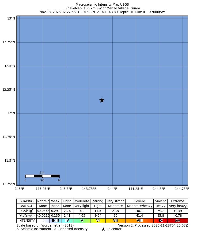
USGS ShakeMap of modeled shaking southwest of Guam
The shaking intensity USGS estimates for the magnitude 5.8 earthquake, the area southwest of Guam. USGS map version of Nov. 18, 2026. U.S. Geological Survey ShakeMap

Sources

Spot an error?

Spot an error?

Report an error

Spotted a mistake on this page? Tell us what's wrong and our editors will take a look.

What kind of problem?

Only if you'd like us to be able to follow up. We won't use it for anything else.

We correct mistakes openly. Select any text to flag it. Fixes are logged under our Corrections Policy.

Report an error

Reporting on

M5.8 Earthquake Strikes Southwest of Guam

What kind of problem?

Only if you'd like us to be able to follow up. We won't use it for anything else.

We read every report. Corrections are logged publicly.